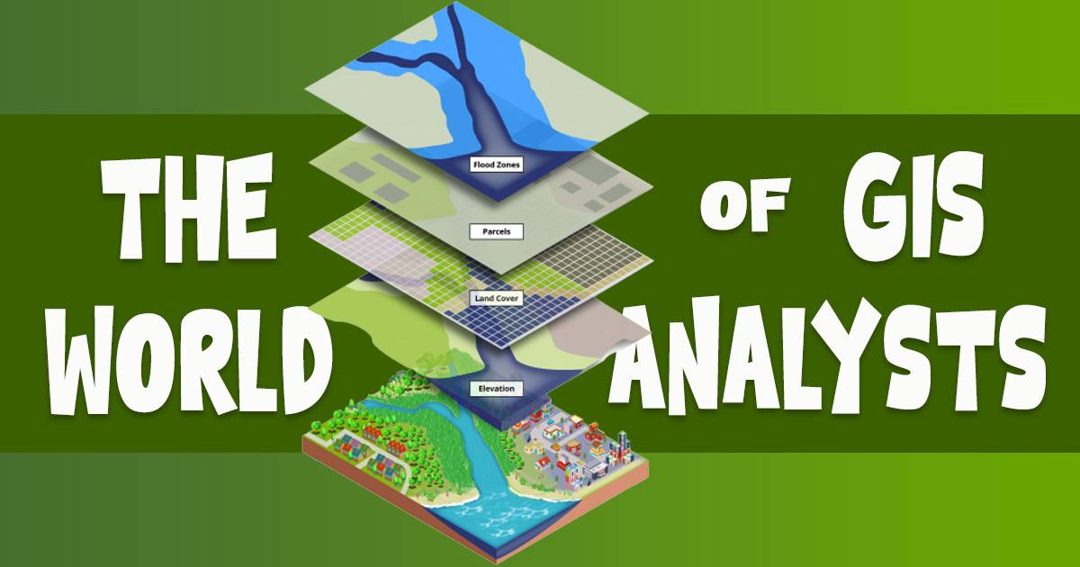
The World of GIS Analysts: What Is Their Role?
GIS stands for Geographic Information Systems. They are tools that help record, store, check, and show geographic data. GIS technology is at work when you use a map app to find a nearby gas station or view interactive maps online. GIS plays a crucial role in a wide range of industries. But what is a GIS analyst, and what do they do? Explore the role of a GIS analyst, how to become one, and what you can expect regarding salary.
What is a GIS Analyst?
A GIS (Geographic Information System) analyst gathers, manages, and analyzes geographic data to help organizations make smart decisions. They use software and tools to create maps, visualize information, and find patterns and trends in geographic data.
GIS analysts are essential in many fields, including city planning, environmental protection, public health, transportation, and business. They combine data from various sources, like satellite images, census data, and surveys, to create detailed datasets that support analysis and decision-making.
What does a GIS analyst do?
A GIS analyst has several key responsibilities, including:
- Data Collection and Management: They gather geographic data from satellite images, field surveys, and existing databases. They then clean, format, and organize this data to ensure it’s accurate and ready for use.
- Data Analysis: Using software like ArcGIS or QGIS, GIS analysts analyze geographic data to find patterns, trends, and relationships. They perform various types of analysis to understand the data better.
- Map Creation: GIS analysts create maps and visualizations to communicate their discoveries with others. They use design principles to ensure the maps are clear, informative, and easy to understand.
- Project Management: They manage projects involving different datasets and stakeholders. This consists in managing timetables, budgets, and resources to ensure that projects are finished on time and within budget.
- Collaboration and Communication: GIS analysts work with professionals like city planners, environmental scientists, and business analysts to meet their data needs. They need to explain complex geographic information clearly and effectively.
What are the skills you need to be a GIS analyst?
A competent GIS analyst must possess both technical and soft skills. Here’s a breakdown of the key skills required:
Technical Skills
- GIS Software Proficiency: Knowledge of GIS software such as ArcGIS, QGIS, or Google Earth is essential. These tools help in data analysis, map creation, and visualization.
- Data Analysis: Capability to evaluate spatial data and find patterns, trends, and linkages. This involves tasks like overlay analysis, buffer analysis, and network analysis.
- Cartography: Skills in creating clear, accurate, and visually appealing maps. Understanding cartographic principles helps in effective map design.
- Programming: Familiarity with programming languages like Python can be beneficial for automating tasks and performing advanced data analysis.
- Database Management: Knowledge of database systems, including how to maintain, query, and update geographic databases.
- Remote Sensing: Understanding how to use data from satellite imagery and aerial surveys for geographic analysis.
- Spatial Data Formats: Knowledge of different spatial data formats (e.g., shapefiles, GeoJSON) and how to work with them.
Soft Skills
- Attention to Detail: Precision in data collection, management, and analysis is crucial for accurate results.
- Problem-Solving: Ability to troubleshoot issues with data or software and develop solutions to complex geographic problems.
- Communication: Skills to clearly explain technical findings and map results to non-technical stakeholders.
- Project Management: Effective management of project timetables, costs, and resources, mainly when working on many projects.
- Collaboration: Working effectively with other professions, such as urban planners, environmental scientists, and business analysts, to achieve mutual objectives.
- Critical Thinking: Evaluating data and methods critically to make informed decisions and provide actionable insights.
Combining these technical and soft skills will help you excel as a GIS analyst and effectively contribute to projects and decision-making processes.
How to become a GIS analyst?
If you’re interested in learning how to become a GIS analyst, here are the key steps you should follow:
Education
A bachelor’s degree in geography, geomatics, environmental science, or a related field is typically required. Some jobs may also demand a master’s degree or specialized certification.
Skills Development
Develop skills in GIS software and tools. Get to know yourself with ArcGIS, QGIS, and Google Earth. Understanding programming languages such as Python can help you automate processes and perform complex analyses.
Experience
Gaining experience through internships, volunteer work, or entry-level positions is essential. Practical experience will allow you to use your knowledge and create a portfolio of work.
Certifications
Earning certifications can enhance your qualifications and improve your job prospects.
GISP Certification: The GIS Certification Institute (GISCI) offers the Certified GIS Professional (GISP) certification. To get this certification, you need:
- At least four years of professional GIS experience.
- To pass the GISCI Core Technical Exam.
- To complete a Portfolio Review.
New graduates can also earn the GISP certification. After passing the exam, you have six years to gain the required four years of full-time GIS experience and submit your portfolio.
Esri Technical Certification: Esri provides technical certification for ArcGIS, a prominent mapping software. This certification proves your skills in using ArcGIS for desktop, development, and enterprise purposes. There are three levels of certification: Entry, Associate, and Professional. An Esri Technical Certification shows employers and clients you’re skilled in GIS and Esri technology.
Networking
Join professional organizations like the Urban and Regional Information Systems Association (URISA) and the American Association of Geographers (AAG). Networking with sector professionals can lead to valuable insights and job prospects.
How much do GIS analysts make?
A GIS analyst’s income varies according to where they work, their amount of experience, the industry, and their education. According to Glassdoor, the median yearly income for GIS analysts was around $110,000 in June 2024.
Salaries can range from around $87,000 for entry-level positions to more than $140,000 for experienced professionals or those working in high-paying industries like oil and gas or finance. GIS analysts with advanced degrees, special skills, or certifications often earn higher salaries.
What sectors usually do GIS Analysts work?
GIS analysts play a vital role in many sectors, including:
- Urban Planning: Helping cities design and manage infrastructure, assess land use, and plan for future growth.
- Environmental Management: Monitoring and managing natural resources, analyzing environmental impacts, and supporting conservation efforts.
- Transportation: Improving transportation systems, analyzing traffic patterns, and planning new routes.
- Public health: mapping disease outbreaks, analyzing health data, and supporting public health initiatives.
- Emergency Services: Assisting in disaster response, mapping emergency routes, and analyzing risk factors.
Your Journey to Becoming a GIS Analyst Starts Here!
A GIS analyst collects, maintains, and analyzes spatial data to assist organizations in making informed decisions. They use software to create maps, visualize data, and find patterns. The need for GIS analysts is expected to increase as more organizations use spatial data. With strong technical skills and industry knowledge, GIS analysts can have great career opportunities in many fields.